Explainers · 5 min read
El Niño 2026 could be the strongest on record: what it means for this winter's weather
El Nino is heading for a strong to very strong peak this winter 2026-27, possibly the strongest since 1950. What it means for rain, heat and haze worldwide.
 By the Good Air team
In this article · 5 sections
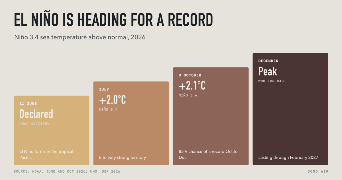
El Niño is set to dominate this winter's weather. On 8 October 2026, the US Climate Prediction Center (CPC) said a strong to very strong El Niño is likely through January to March 2027, with an 83% chance that October to December will be the strongest El Niño season since records of this kind began in 1950 (NOAA CPC, 8 October). The World Meteorological Organization (WMO) puts the chance that it lasts through February 2027 at close to 100% (WMO, 3 September).
El Niño does not decide any one day's weather, but it tilts the odds for whole seasons: wetter in some regions, drier in others, and warmer across most of the world.
What is El Niño?
El Niño is a warming of the sea surface in the central and eastern tropical Pacific Ocean, along the equator. Normally the trade winds push warm water west toward Indonesia and Australia, where it feeds heavy rain. During El Niño the trade winds weaken, warm water spreads east toward South America, and the rain belt moves with it. That shift changes the jet streams and rainfall far beyond the Pacific.
It is one phase of the El Niño–Southern Oscillation (ENSO). The opposite phase, La Niña, has a cooler-than-normal eastern Pacific. WMO says the cycle swings between the two every two to seven years, and an El Niño can last up to 18 months (WMO, updated 3 September 2026).
Forecasters measure El Niño by how far the sea temperature in the "Niño 3.4" region of the Pacific is above normal. NOAA classes an event as very strong when that figure passes +2.0 °C (NOAA, 11 June).
How strong is the 2026 El Niño?
Very. The milestones:
| Date | What happened |
|---|---|
| 11 June 2026 | NOAA declares El Niño and issues an El Niño Advisory (NOAA, 11 June) |
| July 2026 | Niño 3.4 reaches +2.0 °C; some waters below the surface are more than 8 °C above normal (WMO, 3 September) |
| 3 September 2026 | WMO says El Niño will become very strong, the first time its update has been so definite |
| 8 October 2026 | CPC: Niño 3.4 at +2.1 °C; strong to very strong El Niño likely through January to March 2027 |
| December 2026 | WMO's forecast peak |

CPC's chance of a record event, stronger than any since 1950, is 54% for September to November, 83% for October to December and 70% for November to January. CPC's next update is due on 12 November 2026.
What does El Niño mean for winter weather?
WMO's summary of typical El Niño effects (WMO, updated 3 September 2026):
- Wetter: parts of South America, East Africa and the southern United States, with more risk of floods.
- Drier: eastern and northern Australia, Indonesia, southern Africa and parts of South Asia, where monsoon rain is suppressed.
- Fewer Atlantic hurricanes.
- Warmer: El Niño warms the planet overall, most strongly in the year after it develops. WMO says the 2023–24 El Niño, together with human-caused climate change, made 2024 the hottest year on record.
WMO stresses that these are tendencies, not certainties. Not every region is affected, and a strong El Niño does not guarantee strong local effects.
United States
NOAA says El Niño usually shifts the Pacific jet stream south in winter, so the storm track runs across the southern US. That typically means a wetter, stormier winter in the South, with more rain and snow, and a warmer winter across the North. The northern Rockies and the Ohio and Tennessee valleys tend to be drier (NOAA, 11 June). National Weather Service director Ken Graham said each El Niño "is unique with its own imprint on our weather".
El Niño also tends to calm the Atlantic hurricane season and boost storms in the eastern and central Pacific (NOAA, 11 June). The eastern Pacific has been busy: Hurricane Simon passed close to the Mexican coast as a Category 4 storm on 11 October (NASA Earth Observatory, 14 October). Fewer Atlantic storms is not none, though. Hurricane Isaias, which reached Category 3, made landfall near Destin, Florida, on 9 October; by 14 October the Atlantic was quiet again (ABC13 Houston, 14 October).
India and South Asia
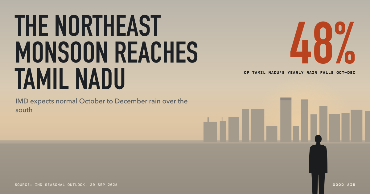
India has already felt this El Niño. The 2026 southwest monsoon delivered 87% of normal rain, the fourth-lowest total since 2001, and IMD says strong El Niño conditions are present and likely to strengthen to the end of the year (IMD, 30 September). For the October to December northeast monsoon, IMD still expects normal rain over the southern peninsula. Our report on the northeast monsoon 2026 has the forecast for Tamil Nadu.
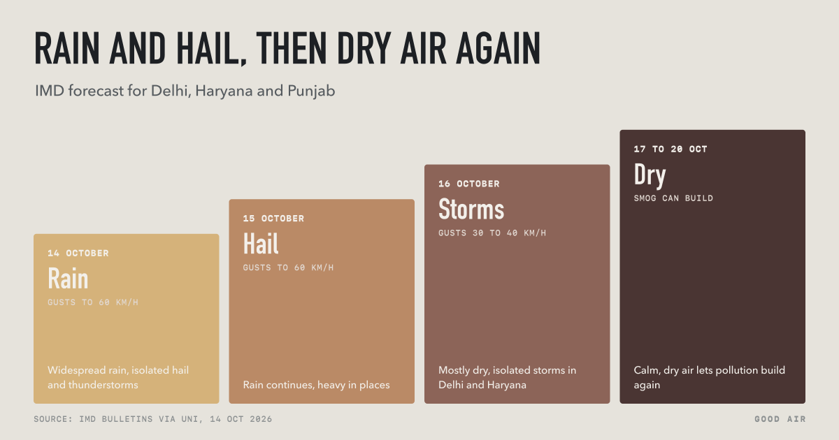
IMD also expects above-normal temperatures over most of India in October. What El Niño will do to North India's winter fog and smog is not well established; calm, dry weather traps pollution, and the Delhi air pollution tracker follows it day by day.
Indonesia, Malaysia and Singapore
Drier weather in Indonesia matters for air as well as water. Fires on drained peatland in Sumatra and Kalimantan spread more easily in dry years, and their smoke has already caused haze across the region this October. Our Southeast Asia haze tracker has live readings, and Southeast Asia haze 2026 explains the fires.
Australia
WMO lists eastern and northern Australia among the regions that turn drier in El Niño years. Australia's spring and summer run from September to February, the same months as this El Niño's forecast peak, so the Bureau of Meteorology's seasonal outlooks are the ones to watch.
Is the Indian Ocean doing anything unusual?
Forecasters disagree here. WMO expected a positive Indian Ocean Dipole (IOD) to develop, with a September to November average of +0.9 °C (WMO, 3 September). The IOD is a gap in sea temperature between the western and eastern Indian Ocean; a positive phase usually brings more rain to East Africa and less to Indonesia and Australia. IMD's outlook of 30 September said the IOD was neutral and likely to stay neutral through the northeast monsoon. Which one is right will shape rainfall around the Indian Ocean this winter.
How long will El Niño last?
WMO expects this El Niño to persist at least into early 2027, with a peak around December. CPC expects El Niño to last through March to May 2027, with neutral conditions becoming more likely by April to June. WMO notes that El Niño events usually last nine to twelve months, and that their effect on global temperatures peaks in the year after they form. That is why climate scientists are watching global temperatures in 2027 closely.
What is not known yet: how high the peak will be, and how a warm Atlantic and Indian Ocean will change the usual pattern. WMO says precise forecasts for individual countries are not yet possible; national weather services publish the local outlooks (UN News, 3 September).
Frequently asked questions
Will El Niño last through winter 2026-27?
Yes. On 8 October 2026, NOAA's Climate Prediction Center said a strong to very strong El Niño is likely through January to March 2027, and WMO puts the chance that it lasts through February 2027 at close to 100%. CPC expects neutral conditions to become more likely by April to June 2027.
Is the 2026 El Niño the strongest ever?
It may be. NOAA's Climate Prediction Center gives an 83% chance that October to December 2026 will be stronger than any El Niño season since 1950, and 70% for November to January. The Niño 3.4 sea temperature was +2.1 °C above normal in early October 2026. WMO expects the peak around December.
What does El Niño mean for the US winter?
El Niño usually pushes the Pacific jet stream south, so the southern United States tends to get a wetter, stormier winter, with more rain and snow, while the northern US is often warmer than usual. The northern Rockies and the Ohio and Tennessee valleys tend to be drier, according to NOAA.
How does El Niño affect India?
El Niño often weakens India's summer monsoon. In 2026, during a strong El Niño, India got 87% of its normal June to September rainfall, the fourth-lowest since 2001. IMD still expects a normal October to December northeast monsoon over the southern peninsula, and above-normal temperatures over most of India in October.
Does El Niño cause haze in Southeast Asia?
El Niño tends to make Indonesia drier, which lets fires on drained peatland in Sumatra and Kalimantan spread more easily. The smoke can drift to Malaysia and Singapore. In October 2026, during a strong El Niño, fires in Indonesia caused haze that closed schools in Malaysia.
More on India →More on United States →More on Indonesia →More on Australia →